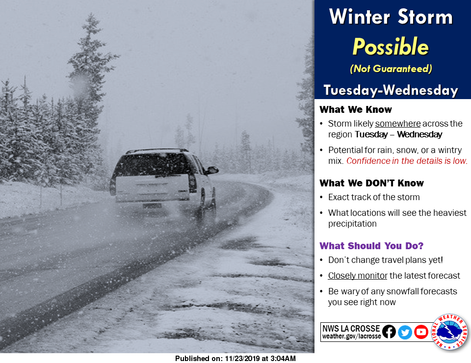
Winter Storm POSSIBLE Tuesday Into Wednesday


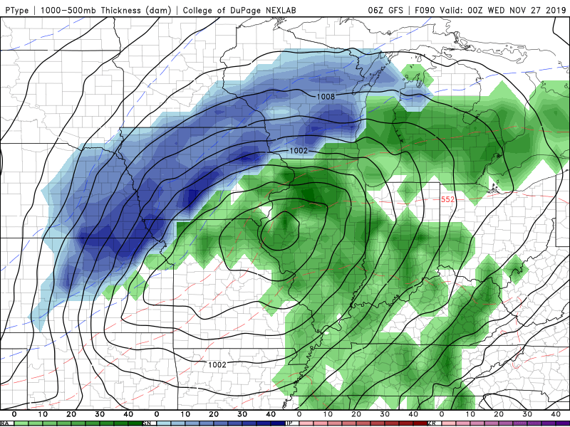
We’re monitoring a storm system that looks to bring rain and snow to Iowa Tuesday into Tuesday night. Confidence is growing for the potential of accumulating snow. However, there remains plenty of uncertainty with the location and amounts of snowfall due to the timing of rain to snow changeover across the state. Regardless of the any snow amounts, travel impacts are highly likely throughout the day Tuesday into Tuesday night. In addition to the rain and snow potential, gusty north to northeast winds are anticipated and will only exacerbate the travel conditions. Below are the latest model projections for the potential winter storm on Tuesday into Wednesday. The forecast will change this weekend into next week, so it’s important to monitor the latest forecast and we will keep you informed with the latest weather information on Star 106. Don’t change your travel plans yet, just be aware of the potential winter storm Tuesday into Wednesday across Iowa.