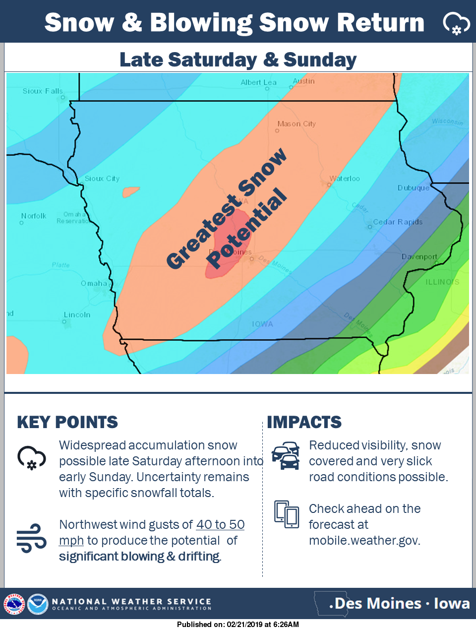
UPDATE: Winter Storm This Weekend.

Gusty winds return to Iowa this weekend with the approaching storm system. New snowfall from this system will easily be lofted into the air. This will result in visibility reduction in open, rural areas. This will also blow snow back onto the roadways, making for difficult travel.
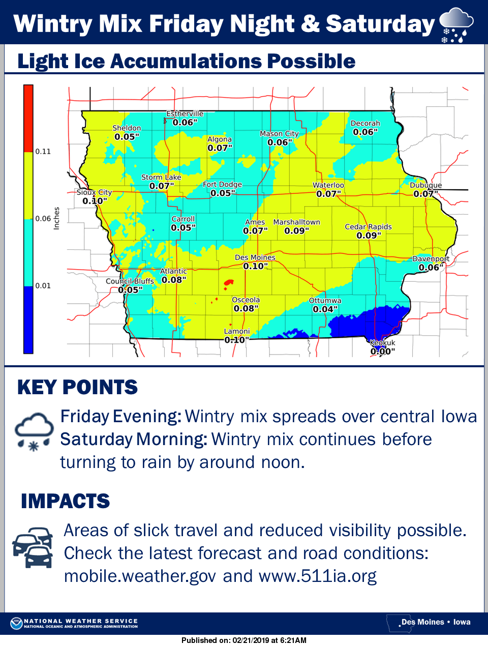
 The next storm system will bring a mix of snow, sleet, freezing rain, and rain. This will likely make for difficult travel Friday Evening through Saturday Morning. Please be careful in traveling.
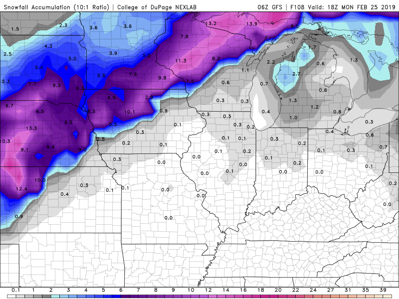
 Below is a map of the potential snowfall totals for North Iowa. We could see 7 inches in Forest City, while Mason City gets around 2.9 inches. Things obviously could change and since there is rain factored in this could greatly affect snow amounts. Stay tuned as we go into the weekend.