Coldest Air Of The Season Friday Into Saturday, Snow Showers Possible.
October 8, 2019 2:32PM CDT

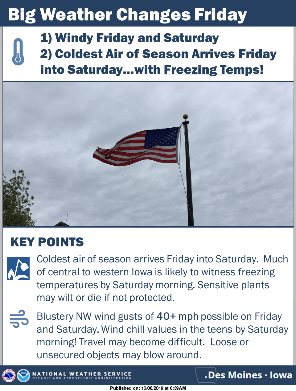
A strong storm system and associated cold front look to blast through the region by Friday. Colder temperatures along with blustery northwest winds are expected by Friday afternoon and will continue into Saturday. Wind gusts up to 40 mph or higher are forecast by Friday night into Saturday and with the colder temperatures filtering into the state, the combination will produce wind chills into the teens by Saturday morning. In addition to the blustery winds, the freezing temperatures are likely to end the growing season over portions of central and western Iowa by Saturday morning.